
Dosya:East Timor adm-2 location map.svg

Dosya orijinal (arxivo SVG, nominalmente 1701 × 1050 píkseles, boy del arxivo: 114 kB)
Rezümé
| Deskripsión |
Deutsch: Positionskarte von Osttimor
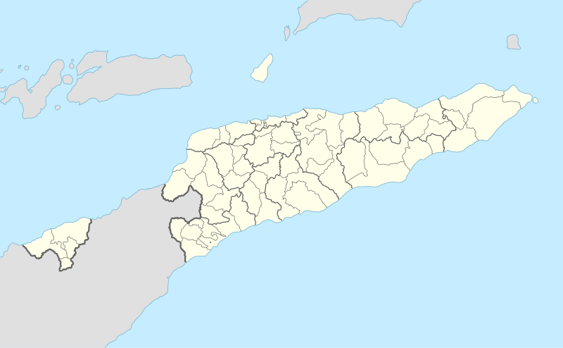
English: Location map of East Timor
|
||||||||||||
| Fecha | |||||||||||||
| Fuente |
Trabajo propio utilizando:
|
||||||||||||
| Otor | NordNordWest | ||||||||||||
| Otras versiones |
|
||||||||||||


|
Este mapa se ha hecho o mejorado en el Kartenwerkstatt (taller cartográfico) alemán. También puede proponer mapas para mejorar.
|
Lesensiamyénto
Usage of this file with:

explanatory notes: Legally binding is only the full legalcode. For a free usage I recommend to respect the following licence conditions:
1. Provide my name as given above: NordNordWest,
2. a copy of, or the URI for, the applicable license: https://creativecommons.org/licenses/by-sa/3.0/de/legalcode,
3. the title of the work,
4. in the case of an adaptation, a credit identifying the use of the work in the adaptation.
This license and the rights granted hereunder will terminate automatically upon any breach by you of the terms of this license. Any of the above conditions can be waived if you get permission from the copyright holder. If you have questions or wish differing conditions, please contact me through nnwest or my discussion page ![]() t-online.de
t-online.de
- eres livre de:
- de kompartir – de copiar, distrivuir y reprodusir tus trocamientos
- de modifikar – de adaptar tus trocamientos
- Bajo las siguientes kondisiones:
- atribusión – Deves dar krédito apropiado, dar un enlase a la lisensia e indikar si algun trocamiento fue hecho. Puedes aserlo de kualkier manera rasonable pero no en una ke sugiera ke el lisensiante te respalde a ti o el uso ke hagas del trabajo.
- kompartir igual – Si tu modifikas, transformas o ases algo kon el material, tu deves distribuir tus kontribusyones bajo la misma lisensia (o una kompativle) de la orijinal.

La istoria de la dosya
Taquea (pisa con el ratón) encima de una data/ora parâ ver como era la dosya en esta data.
| Data/Ora | Miniatura | Boy | Usador | Esplicación | |
|---|---|---|---|---|---|
| corriente | 07:56 9 ago 2017 | | 1701 × 1050 (114 kB) | NordNordWest | == {{int:filedesc}} == {{Information |Description= {{de|1=Positionskarte von Osttimor}} {{en|1=Location map of East Timor}} {{Location map series N |stretching=101 |top=-7.8 |bottom=-10.0 |left=123.9 |right=127.5 }} |Source={{Own using}} * United State... |
Usos de la dosya
No ay hojas con atamientos a esta dosya.
Uso global de la dosya
Las vikis siguientes usan esta dosya:
- Uso en af.wikipedia.org
- Uso en an.wikipedia.org
- Uso en ar.wikipedia.org
- Uso en ast.wikipedia.org
- Uso en az.wikipedia.org
- Uso en ba.wikipedia.org
- Uso en bcl.wikipedia.org
- Uso en be-tarask.wikipedia.org
- Uso en be.wikipedia.org
- Uso en bg.wikipedia.org
- Uso en bn.wikipedia.org
- Uso en bs.wikipedia.org
- Uso en ceb.wikipedia.org
Ver uso de la dosya en más prodjektos.